Quick Facts
- Mine Safety Rule: Always stay on marked trails; never explore ruins or trenches.
- Essential App: BH Mine Suspected Areas is mandatory for traversing Bosnia.
- Primary Snake Risk: Balkan horned viper, also known as the poskok, requires vigilance in karst overgrowth.
- Water Protocol: Maintain a 3-liter minimum capacity for dry karst limestone sections.
- Weather Rule: Exit high ridges by 13:00 to avoid lightning hazards.
- Emergency Number: Dial 122 for the Mountain Rescue Service in Bosnia and Montenegro.
The Via Dinarica offers world-class trekking, but safety requires preparation. While the White Trail is generally safe, understanding Via Dinarica safety involves managing risks from landmines and local wildlife like bears and vipers. While the established Via Dinarica White Trail is considered safe, Via Dinarica safety requires strict adherence to marked paths and demined corridors. Hikers must monitor unexploded ordnance (UXO) risks in Bosnia and Croatia using the BH Mine Suspected Areas app and remain vigilant regarding wildlife hazards like the horned viper and brown bears.
Navigating Landmine Risks in Bosnia and Croatia
For many thru-hikers, the idea of unexploded ordnance is the most intimidating aspect of the Dinaric Alps. To navigate this landscape safely, it is essential to understand the historical context without letting fear cloud your judgment. During the conflicts of the 1990s, landmines were placed along former front lines, many of which coincide with the mountainous ridges the Via Dinarica now traverses. While extensive demining efforts have occurred, the problem has not been entirely erased.
As of early 2025, the Bosnia and Herzegovina Mine Action Center (BHMAC) estimated that approximately 820 square kilometers of land, or 1.6 percent of the country's territory, remain contaminated with roughly 180,000 unexploded landmines. These statistics might seem daunting, but it is important to realize that the official Via Dinarica White Trail has been carefully vetted to ensure it follows demined corridors or areas never affected by the war.
The primary rule for Via Dinarica landmine safety for hikers is simple: stay on the trail. In most regions, a well-defined path indicates safety, but in the Herzegovinian highlands or the border regions of Croatia, you may encounter red warning signs featuring a skull and crossbones. These should never be ignored. Furthermore, you should avoid exploring abandoned buildings, stone ruins, or old bunkers found near the trail, as these structures were often used as military positions and may still harbor unexploded ordnance.
Technology is your best ally in these zones. Learning how to use BH Mine Suspected Areas app is a non-negotiable part of your pre-trip preparation. This mobile application is an essential safety tool for Via Dinarica hikers, providing real-time mapping and alerts for potentially contaminated zones in Bosnia and Herzegovina. By checking the app regularly against your GPS position, you can visualize exactly where the suspected areas lie in relation to the path. If you find yourself off-trail and unsure of your position, do not continue wandering; retrace your steps exactly as you came or call the Mountain Rescue Service.
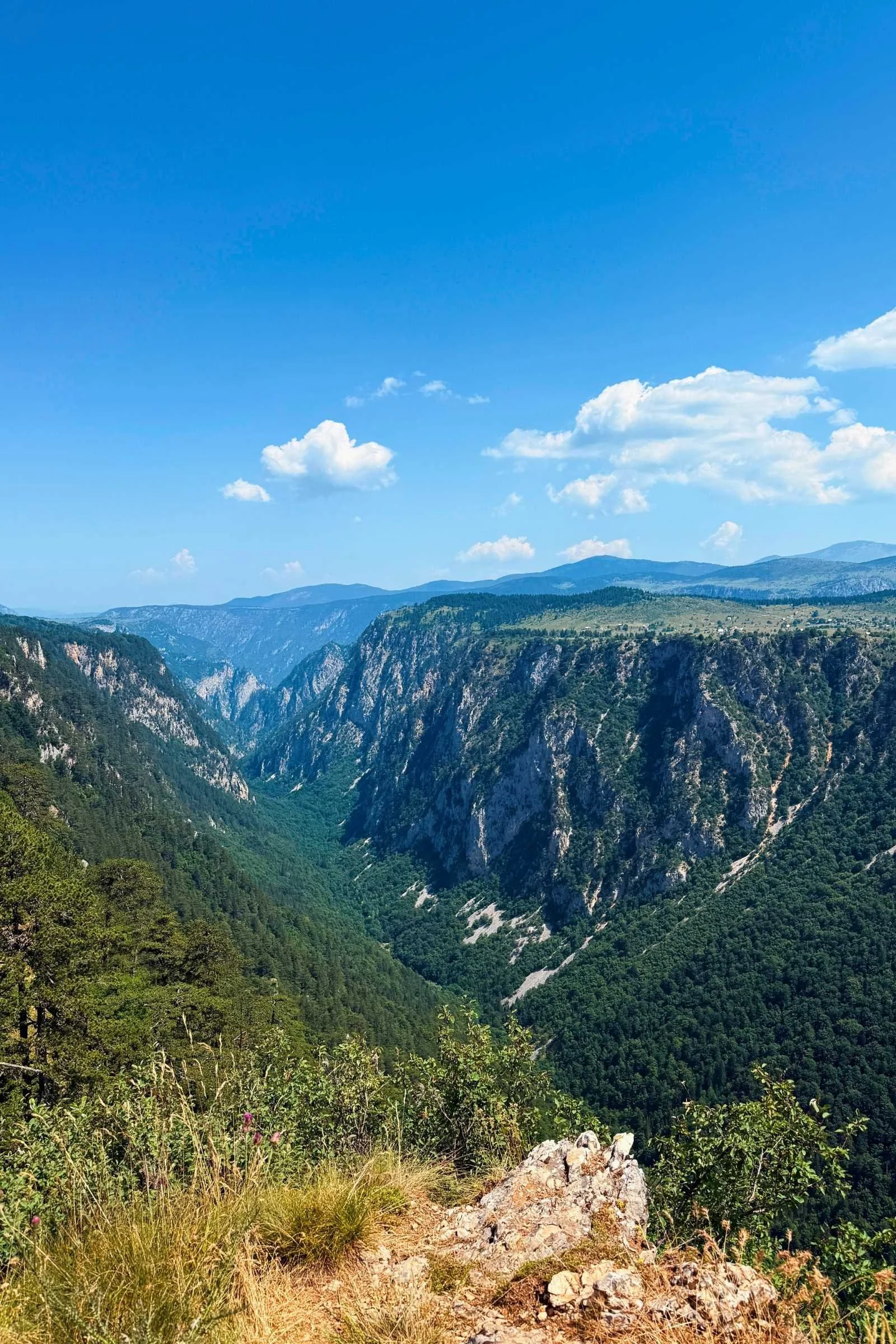
Wildlife Encounters: Vipers, Bears, and Ticks
While human-made hazards get the most headlines, the natural inhabitants of the Balkans require equal respect. The Dinaric Alps are one of the most biodiverse regions in Europe, housing apex predators and venomous reptiles that require specific safety protocols.
The most common biological risk is the Balkan horned viper, locally known as the poskok. It is easily identified by the distinct horn on its snout and a dark zig-zag pattern on its back. This snake is the most venomous in Europe and has a reputation for being somewhat sedentary, meaning it often won't move even when a hiker approaches. For Balkan horned viper safety and prevention, hikers should wear long pants and sturdy boots, especially when walking through tall grass or karst formations. Always use trekking poles to probe the ground ahead of you in overgrown sections, and never place your hands in rocky crevices where a snake might be basking.
Larger mammals like the brown bear and gray wolf also call these mountains home. Croatia alone is home to an estimated 1,000 to 1,400 bears residing in the mountain regions. Despite their numbers, bear encounters are rare because these animals are generally shy. However, Via Dinarica wildlife safety for solo hikers involves making "human" noises—clapping, talking, or singing—especially when moving through dense forest or near running water where a bear might not hear you coming.
Proper campsite management is your first line of defense against unwanted wildlife encounters. Keep a "clean" camp by never eating inside your tent and storing all scented items—including food, trash, and toiletries—in dry bags suspended from a tree or kept well away from your sleeping area. If you do encounter a bear, do not run. Stand your ground, speak in a calm, firm voice, and slowly back away.
Lastly, do not overlook the smaller threats. Ticks are prevalent in the lower elevations and can carry Lyme disease or tick-borne encephalitis. Treatment of clothing with permethrin and daily tick checks are highly recommended. Always carry a basic wilderness first aid kit and know how to use it, as medical help can be many hours away in the remote Balkan wilderness.
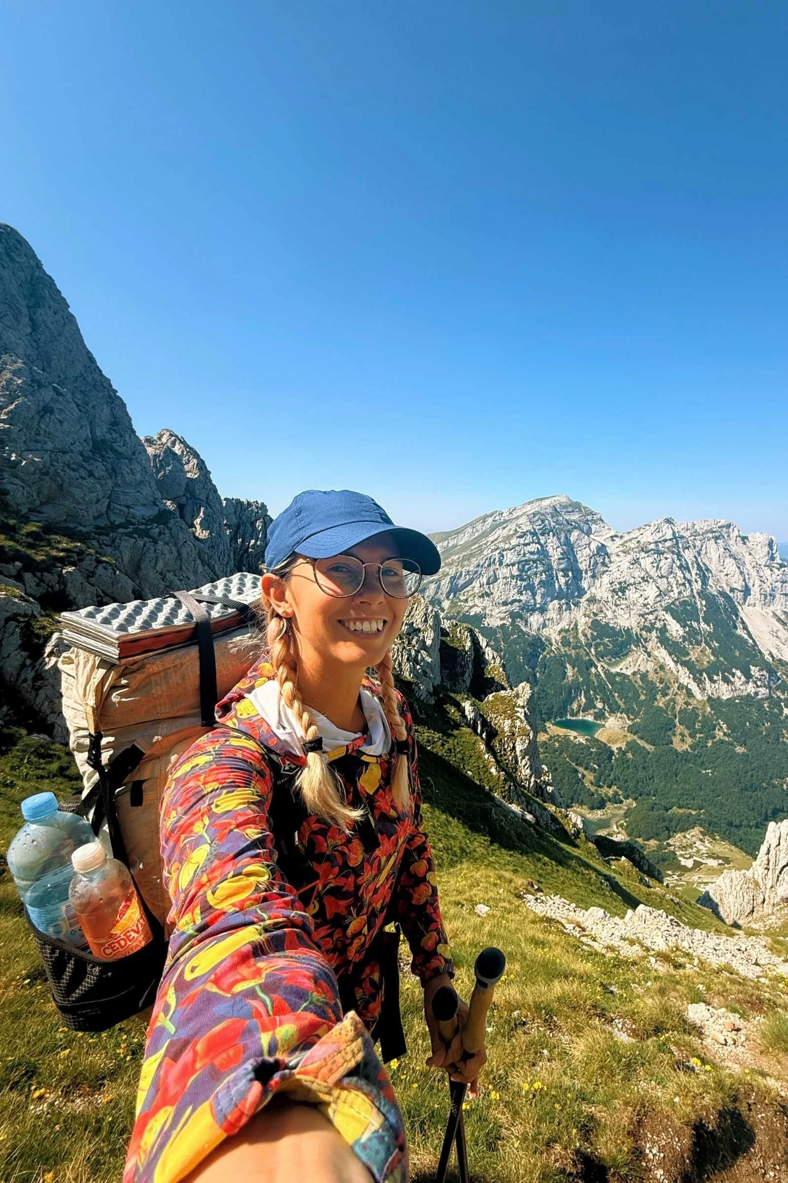
Trail Navigation and Route-Finding in the Karst
The Via Dinarica is not a "manicured" trail like the Appalachian Trail or the West Highland Way. It is a network of existing hiking paths, forest roads, and shepherd tracks that have been stitched together. Consequently, Via Dinarica trail navigation can be one of the most taxing parts of the journey.
One of the most significant challenges is that trail signage is often inconsistent. In some sections, you will find frequent red-and-white circles (the standard Knafelz blaze), while in others, the markers have faded into obscurity or are missing entirely. This makes navigating unmarked trails on Via Dinarica a common necessity. Relying solely on physical markers is a recipe for getting lost. You must use reliable mapping apps with offline capabilities, such as Gaia GPS or Mapy.cz, and ensure you have downloaded high-quality GPX waypoints for the entire route.
The geology of the region, characterized by karst topography, adds another layer of difficulty. Karst is a jagged, soluble limestone landscape filled with sinkholes, caves, and sharp ridges. It is notoriously difficult to traverse, as the ground is often uneven and prone to shifting. Furthermore, karst landscapes are "thirsty" because water quickly disappears into underground systems.
In the lower Croatian sections and the high plateaus of Montenegro, water scarcity is a legitimate safety concern. You cannot rely on findable streams in the height of summer. Implement a 3-liter minimum water capacity and use a reliable filter for any tank or well water you find. Many hikers utilize traditional stone shelters known as a katun, which often have cisterns, but this water must always be treated before consumption.
Warning: Karst Terrain The limestone rock in the Dinaric Alps can be razor-sharp. A simple trip can result in a significant laceration. Always wear footwear with good traction and take extra care when the rock is wet, as it becomes exceptionally slippery.

Environmental Hazards: Weather and Border Crossings
Managing environmental risks requires a mix of meteorological awareness and legal preparation. The Dinaric Alps act as a barrier between Mediterranean and continental air masses, leading to rapid, violent weather changes.
Storms in this region are famous for their intensity. Lightning is a primary hazard on the exposed ridges of the White Trail. Hikers should follow the 13:00 ridge rule: aim to be off high, exposed peaks and ridges by early afternoon when convective storms are most likely to build. If you are caught in a storm, descend as quickly as possible and avoid standing near isolated trees or high points. Conversely, heat stroke prevention is vital during the summer months, particularly in the lower elevations of the Dalmatian hinterland, where temperatures regularly exceed 35°C (95°F). Safely managing mountain weather on Via Dinarica means starting your day at dawn and resting during the hottest hours.
Finally, consider the legalities of the trail. The Via Dinarica crosses multiple international borders, including the external border of the Schengen Area (between Croatia and Bosnia). Crossing at "green borders" in the mountains is often illegal without prior authorization. To stay safe and avoid fines or deportation, always use official border crossings and ensure you have obtained the necessary cross-border permits, which are often required for hikers in the Prokletije region spanning Montenegro, Albania, and Kosovo.
Warning: Border Crossings Even if a trail appears to cross a border on your map, it does not mean it is a legal entry point. Always check current regulations for each country, as local police do patrol mountain passes.
FAQ
Are there still landmines on the Via Dinarica trail?
While the main White Trail is considered safe and follows demined corridors, landmines remain a concern in parts of Bosnia and Herzegovina and Croatia. Approximately 1.6 percent of Bosnian territory is still affected. Hikers must stay on marked paths and use the BH Mine Suspected Areas app to remain aware of nearby contaminated zones.
Are there dangerous animals like bears on the Via Dinarica?
Yes, the Dinaric Alps host populations of brown bears, wolves, and wild boars. While these animals generally avoid humans, hikers should practice proper food storage and make noise when moving through dense brush to avoid surprising them. The most immediate wildlife danger is the poskok, or horned viper, which is highly venomous.
How reliable are the trail markings on the Via Dinarica?
Trail markings are inconsistent across the different countries and sections. While some areas are well-maintained with the standard red-and-white blazes, others are poorly marked or entirely devoid of signage. Thru-hikers must carry a GPS device or smartphone with offline maps and reliable GPX tracks to ensure they do not lose the path.
Is it safe to wild camp on the Via Dinarica?
Wild camping is generally permitted and safe in many areas, but it requires caution regarding landmines and wildlife. Never wild camp in a mine-suspected area; instead, use established campsites, mountain huts, or areas known for sure to be safe. Always practice Bear Aware principles by keeping a clean campsite and storing food away from your tent.
Is it safe to hike the Via Dinarica alone?
Many hikers successfully complete the trail solo, but it increases the risk level if an emergency occurs. If hiking alone, it is vital to have a satellite communication device like a Garmin inReach, as cell service is non-existent in many remote valleys. Ensure you leave your itinerary with someone and strictly follow all mine and wildlife safety protocols.