Quick Facts
- Distance: Approximately 362 to 425 miles.
- Duration: 25 to 30 days on average.
- Terrain: 40% Beach, 20% Forest, 40% Roads and Pavement.
- Direction: Southbound (SOBO) highly recommended for wind safety.
- Best Months: June through September.
- Resupply: Very frequent; every 1-2 days through coastal towns.
- Accommodation: Hiker-biker camps at State Parks ($8–$10).
The best way to use this Oregon Coast Trail guide is to plan a Southbound thru-hike between June and September to ensure active ferry services and manageable river crossings. During these best months to hike the Oregon Coast Trail, you will experience the most stable weather and have access to the seasonal boat shuttles required to bridge the gaps in the trail.
Logistics and Direction: Planning Your SOBO Journey
When I talk to hikers about the OCT, the first thing I emphasize is the direction of travel. While north-to-south or south-to-north are both possible, a Southbound (SOBO) journey is vastly superior. The prevailing northwesterly winds on the Oregon coast can be relentless; hiking Southbound keeps that wind at your back rather than fighting a 20-mph headwind for 400 miles.
In terms of Oregon Coast Trail planning tips, your logistics start at the northern terminus: the South Jetty of the Columbia River in Fort Stevens State Park. Most hikers fly into Portland (PDX) and utilize a combination of the MAX light rail and the North West Connector bus system to reach Astoria or Hammond. From there, it is a short ride or a hitch to the official start.
The trail itself does not currently require a single "long-distance permit" like the Pacific Crest Trail. However, you are navigating a patchwork of land managed by the Oregon State Parks board, federal agencies, and municipalities. The beauty of this trail is its accessibility, but that also means you are often sharing the landscape with day-trippers and tourists. According to recent data, a standard thru-hike of the Oregon Coast Trail typically takes 25 to 30 days to complete, covering an average of 12 to 16 miles per day.
Navigating the Oregon Coast Trail Tides and Managing 'The Gaps'
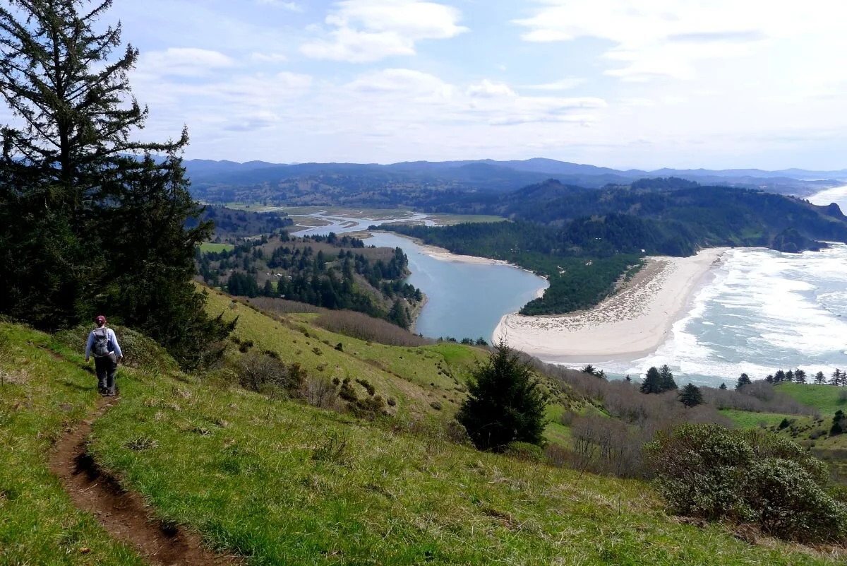
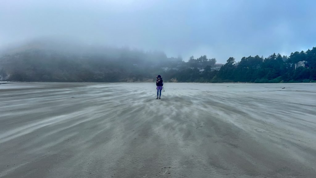
The OCT is not a continuous line of dirt; it is a hybrid experience. The route traverses a diverse landscape where approximately 40 percent of the journey is on sandy beaches, 20 percent on forested trails, and up to 40 percent on paved roads. These road sections are often referred to as "the gaps," where the beach is blocked by impassable headlands or river mouths.
Navigating the Oregon Coast Trail tides is the most critical safety skill you will need. Many headlands can only be rounded at a low or receding tide. Being caught by a rising tide against a cliff face is a genuine life-threatening hazard. I always tell new hikers to consult official NOAA tide tables daily and cross-reference them with the FarOut app.
Safety Warning: Sneaker Waves Never turn your back on the ocean. The Oregon coast is famous for sneaker waves—disproportionately large coastal waves that can surge much higher up the beach than expected, catching hikers off guard and pulling them into the cold Pacific.
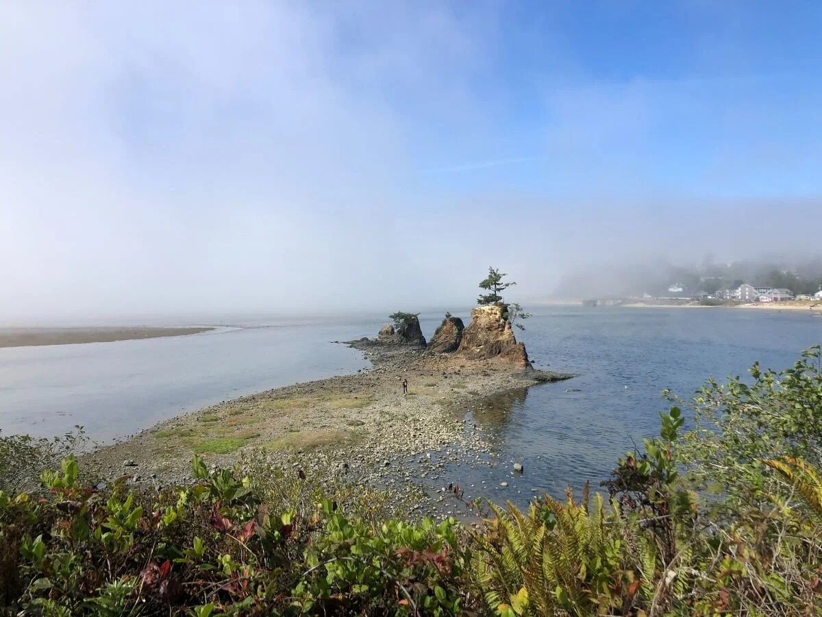
To minimize Highway 101 exposure, you should learn how to avoid Highway 101 road walking on the OCT by utilizing seasonal ferries and local transit. For example, the Tillamook Bay crossing is significantly safer and more scenic if you arrange a boat shuttle from Garibaldi to Bayocean Spit. Without the ferry, you face a long, noisy detour on highway shoulders.
Camping and Resupply: The Hiker-Biker System
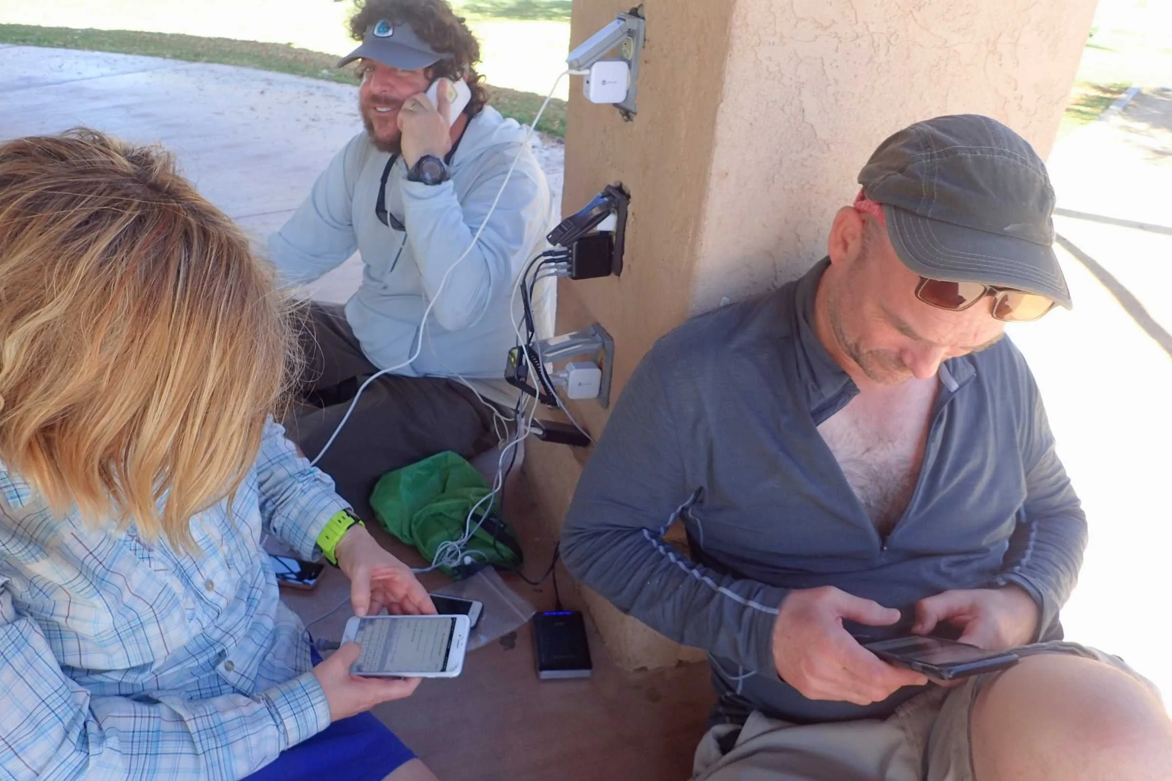
One of the highlights of the OCT is the social and affordable lodging known as the hiker-biker site. Most Oregon State Parks along the coast offer these designated areas for visitors who arrive without a motor vehicle. For a fee of about $8 to $10, you get a spot to pitch your tent, access to Hiker-biker site amenities like hot showers and charging stations, and the chance to swap stories with fellow trekkers.
However, you must be aware of Oregon Coast Trail hiker-biker camp regulations. Dispersed camping on the beach is generally prohibited within city limits or in front of state parks. Furthermore, specific sections of the beach are Shorebird protection zones. These areas protect the nesting grounds of the Western Snowy Plover; from March 15 to September 15, hiking is restricted to the wet sand, and camping or bringing pets is strictly forbidden in these zones to protect the delicate intertidal ecosystems.
Your OCT resupply strategy for long distance hikers will be much lighter than on other trails. Because you pass through a coastal town almost every 15 to 20 miles, you rarely need to carry more than two days of food. This allows you to eat fresh meals and enjoy the local culture, giving the OCT a "Camino-style" feel where the trail and town are inextricably linked.

OCT Thru-Hike Gear Recommendations: Adapting to moisture
The coastal environment presents unique challenges. Even if it isn't raining, the marine layer moisture can saturate your gear by morning. Here is a breakdown of how to adapt your setup for the coast.
OCT Thru-Hike Gear List for Beginners
| Equipment Category | Recommendation | Why It Matters |
|---|---|---|
| Shelter | Double-walled tent | Essential for managing high condensation from the damp ocean air. |
| Insulation | Synthetic puffies/quilts | Unlike down, synthetic insulation retains warmth when damp. |
| Footwear | Non-waterproof trail runners | Your feet will get wet during river fords; breathable shoes dry faster. |
| Safety | Reflective vest/straps | Mandatory for visibility during the 40% of the trail spent on road shoulders. |
| Navigation | FarOut App + Tide Tables | Provides real-time data on water sources and tide-dependent crossings. |
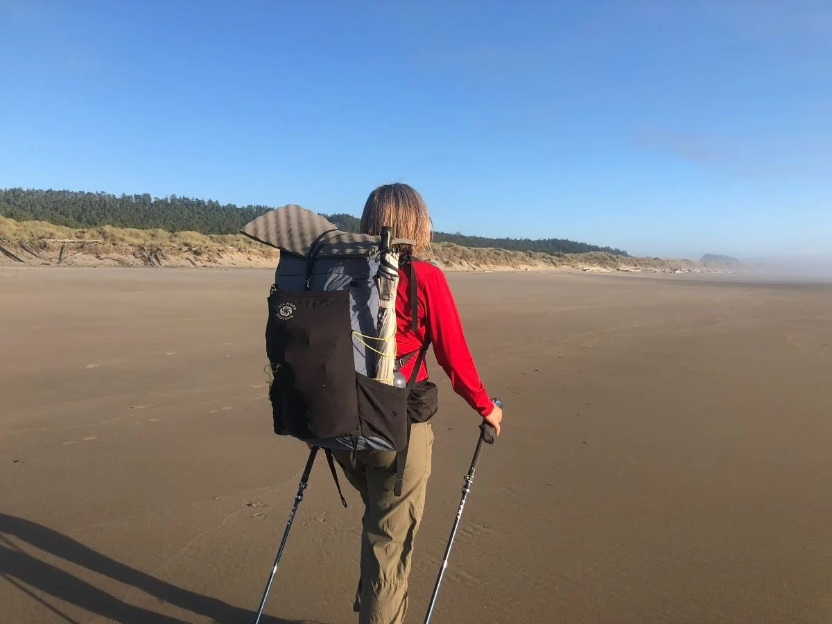
I strongly suggest using a lightweight gear setup. Heavy boots are a liability on long beach stretches, where the repetitive motion on slanted sand can lead to "beach knee" or tendonitis. Trail running shoes allow your feet to flex naturally. Also, don't forget the importance of Sitka spruce forests inland; when the trail leaves the beach, you'll be climbing through dense, rooty terrain where good traction is vital.
Sectional Overview: From the Columbia to the Redwoods
The Oregon Coast Trail spans approximately 362 to 425 miles depending on your chosen route and ferry availability. The experience changes dramatically as you move south.
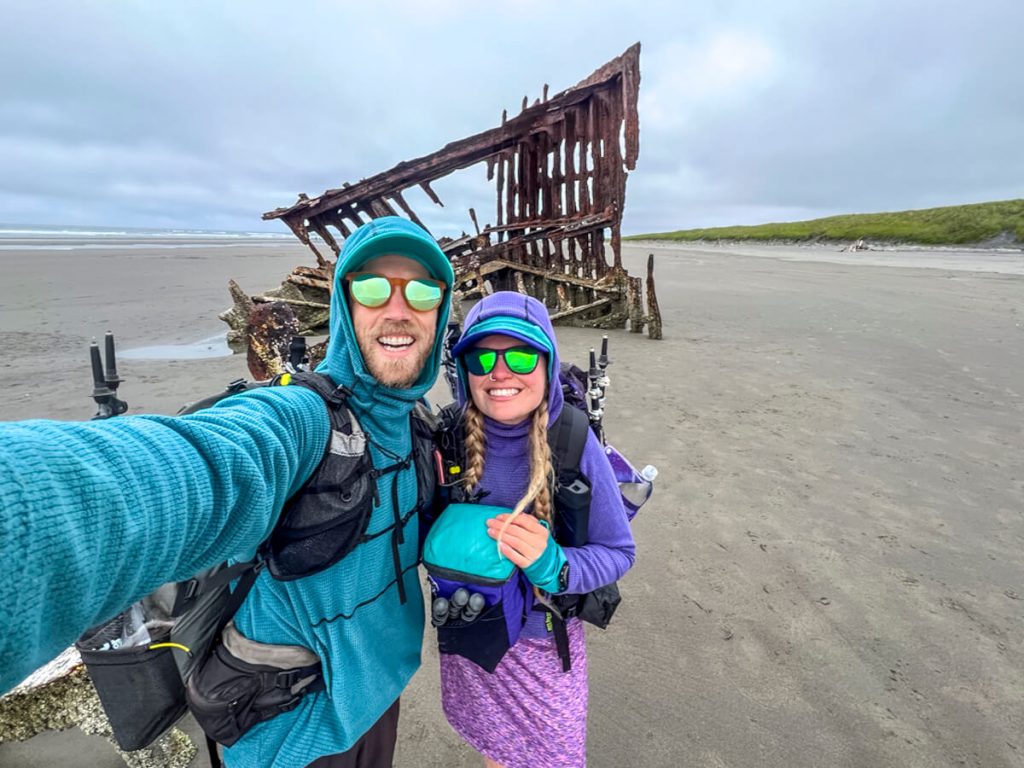
In the Northern Section (Columbia River to Cascade Head), you will encounter the most infrastructure and the highest concentration of tourists. This area features iconic landmarks like the Peter Iredale shipwreck and the bustling town of Cannon Beach. It is the easiest section for beginners to navigate but involves more crowded campgrounds.
The Central Section (Cascade Head to Reedsport) introduces you to the dramatic dunes. Walking through the Oregon Dunes National Recreation Area is a highlight, though it can be physically demanding as you trudge through deep, soft sand. This is where you truly feel the vastness of the Pacific.
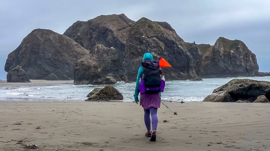
The Southern Section (Reedsport to the California Border) is, in my opinion, the crown jewel. This area is more remote and rugged, culminating in the Samuel H. Boardman State Scenic Corridor. Here, the Sea stack formations are at their most spectacular, and the trail winds through ancient forests hanging precariously over the ocean. It is the most challenging leg, but it offers the greatest rewards in terms of solitude and scenery.
FAQ
How long does it take to hike the Oregon Coast Trail?
Most thru-hikers complete the journey in 25 to 30 days. Factors like tide timing, your willingness to walk on Highway 101, and how long you spend enjoying the coastal towns will influence your total time.
Do you need permits for the Oregon Coast Trail?
No general thru-hiking permit is required for the trail itself. However, you must pay for hiker-biker campsites at state parks, and some specific areas may have parking fees if you are leaving a vehicle at a trailhead.
What is the best time of year to hike the Oregon Coast Trail?
The best months are June through September. This window provides the best weather and ensures that the vital boat ferries across Tillamook, Nehalem, and Winchester Bays are operational.
Can you camp on the beach along the Oregon Coast Trail?
Beach camping is allowed in some areas but restricted in many others. You cannot camp on the beach within city limits, adjacent to state parks, or in Snowy Plover protection zones. Utilizing the hiker-biker camps is the most reliable and legal method for overnight stays.
How do you handle river crossings on the Oregon Coast Trail?
Small creeks can be stepped over, but larger rivers require strategic planning. Some are fordable at low tide, while others require using Highway 101 bridges or hiring a seasonal boat shuttle. Always check the current status of ferry services before your trip.