Quick Facts
- Weight: 100g (3.5 oz) – ultralight for thru-hiking and backcountry safety.
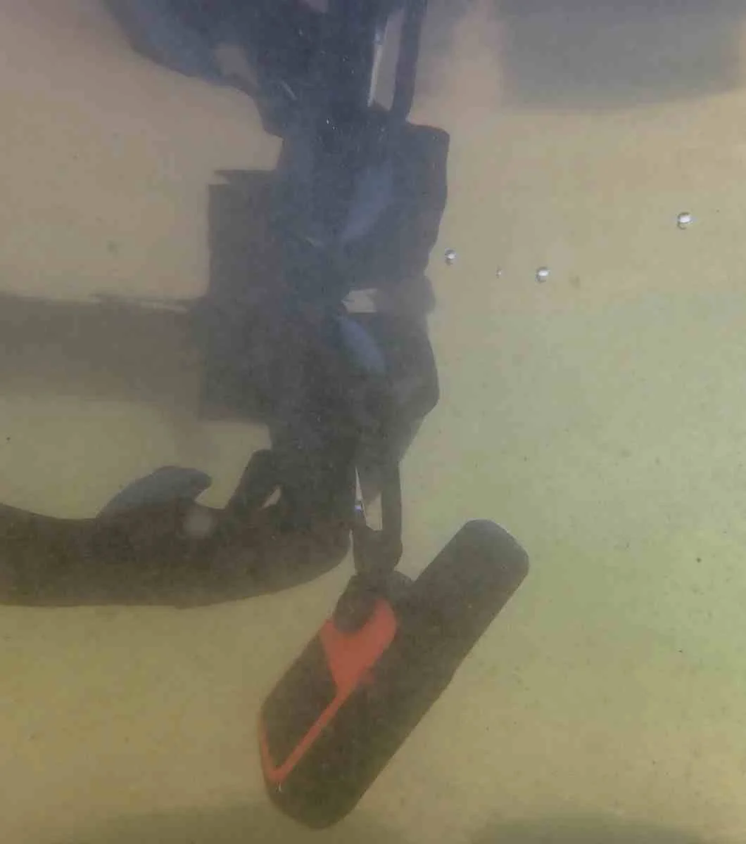
- Waterproof Rating: IPX7 – submersible up to 1 meter for 30 minutes.
- Durability: MIL-STD-810G – impact and thermal resistance standards.
- Network: 100% Global Iridium satellite network coverage.
- Core Service: 24/7 Garmin Response emergency coordination center.
- Key Feature: Two-way interactive SOS satellite messaging.
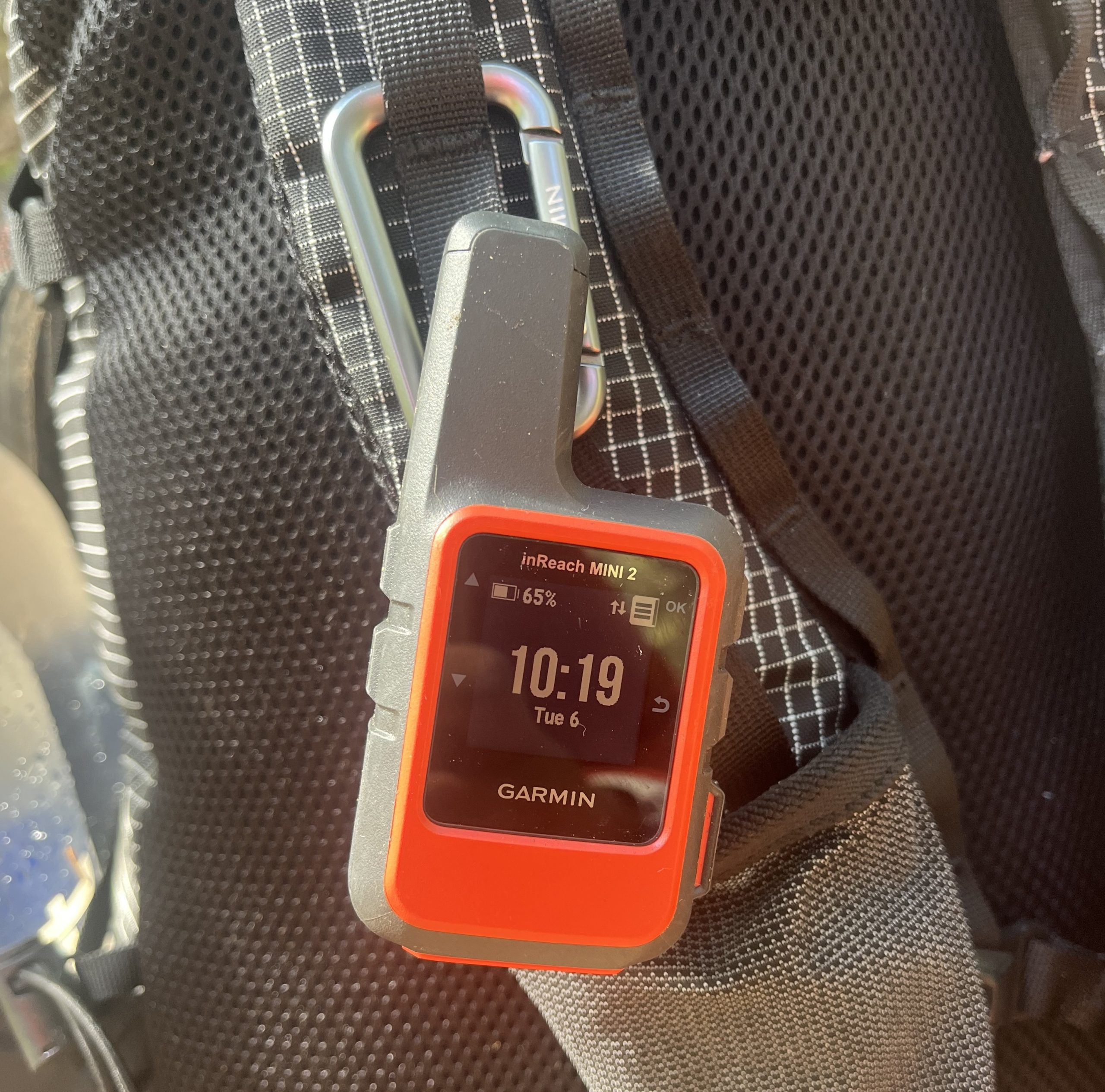
The Garmin inReach Mini 2 is more than a GPS; it is a lifeline. In this guide, we break down how to use the interactive SOS satellite messaging feature, manage battery for multi-day trips, and set up the Garmin Explore app for backcountry navigation. The Garmin inReach Mini 2 features a dedicated SOS button under a protective cap to prevent accidental activation. Once triggered, the device initiates an interactive SOS with Garmin Response, a 24/7 emergency coordination center that works with global search and rescue teams. Users can send and receive two-way text messages to provide rescuers with critical updates on their medical status and specific needs, ensuring the appropriate level of intervention is dispatched to their exact GPS coordinates.
How to Activate SOS: Anatomy of an Emergency
When you are deep in the backcountry and the unthinkable happens, adrenaline often clouds judgment. This is why the Garmin inReach Mini 2 is designed with a physical fail-safe. On the right side of the device, you will find a hard-shell protective cap. To initiate a rescue, you must flip this cap up and press and hold the dedicated SOS button. A countdown will appear on the screen, giving you a few seconds to cancel if the press was accidental.
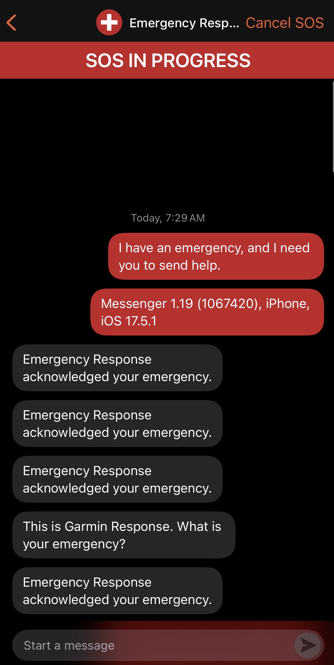
Once the signal is sent via the Iridium satellite network, the device does not just "fire and forget." It enters a state of interactive SOS satellite messaging. This is a critical distinction from older PLBs (Personal Locator Beacons). Within minutes, a dispatcher from Garmin Response will message you back. This two-way communication allows you to describe the nature of the emergency—whether it is a broken leg, severe altitude sickness, or a forest fire.
Furthermore, statistics show that carrying this device is an act of altruism as much as self-preservation. According to official data, nearly 50% of inReach SOS incidents are triggered for a party member or even a third-party individual found on the trail rather than the device owner. Being able to communicate with rescue teams via interactive satellite messaging means you can provide the exact age, weight, and symptoms of the patient, which helps Search and Rescue (SAR) determine if they need to send a ground team or a helicopter with specialized medical equipment.
Step-by-Step SOS Workflow
- Flip the cap: Locate the SOS button on the side of the unit.
- Hold the button: Keep it pressed until the device vibrates and the countdown begins.
- Wait for confirmation: The screen will indicate that the distress signal is being sent with your real-time GPS coordinates.
- Communicate: Once Garmin Response acknowledges the signal, reply to their text messages with as much detail as possible.
- Keep the device clear: Ensure the unit is stationary and has a clear view of the sky to maintain the connection.
Signal Reliability: Iridium Network vs. Smartphone
We often hear hikers ask why they need a dedicated satellite messenger when modern smartphones are beginning to include satellite SOS features. The answer lies in hardware-specific reliability. While a phone antenna is shielded by glass and metal designed for cellular frequencies, the Garmin inReach Mini 2 is built specifically for low-power satellite communication.
The device utilizes the Iridium satellite network, which provides 100% global coverage. Unlike some satellite systems that struggle near the poles or in deep canyons, Iridium’s cross-linked constellation is remarkably resilient. However, signal strength can still vary. In our testing, we found that heavy tree cover or steep granite walls can delay message delivery. If your message is hung up, a common manual waypoint hack is to hold the device high above your head or move to a small clearing to force a faster handshake with a passing satellite.
When comparing the garmin inreach mini 2 vs messenger for emergency reliability, the Mini 2 stands out due to its standalone navigation screen and its ability to function independently of a phone. While the newer Garmin Messenger device has a longer battery, the Mini 2 offers more on-device data for those who need to navigate their way out of a situation. It is also important to note regional restrictions; while the hardware works globally, satellite communication is restricted or illegal in countries like Russia, China, and India. Always check local laws before traveling internationally.
Battery Management: Real-World Settings for Backpacking
Garmin advertises a battery life of up to 14 days in 10-minute tracking mode, but in practice, dense forests and frequent messaging can drain the unit much faster. If the device is constantly searching for a signal through a thick canopy, it can drop to 20 or 30 hours of life. For long-distance trekking, implementing satellite messenger battery management tips is essential to ensure you have power when an emergency actually strikes.
To maximize the Garmin inReach Mini 2 battery life during multi-day backpacking trips, users should set tracking intervals to 10 or 30 minutes rather than high-frequency updates. If you are on a well-marked trail, consider 30-minute intervals—this still provides a reliable path for rescuers to follow if you go missing, but significantly reduces the number of satellite pings.
Essential Power-Saving Settings
- Tracking Frequency: Move from 2-minute "performance" tracking to 10 or 30-minute intervals in the settings menu.
- Bluetooth Usage: Disable Bluetooth if you are not actively using the Garmin Explore app to save peripheral power.
- Screen Brightness: Lower the backlight to 20% and set a short "timeout" for the display.
- GPS Modes: Select power-saving GPS modes that utilize fewer constellations if you have a clear sky.
- Power Down at Night: Unless you are expecting a message or participating in a timed event, turn the device off while sleeping at camp.
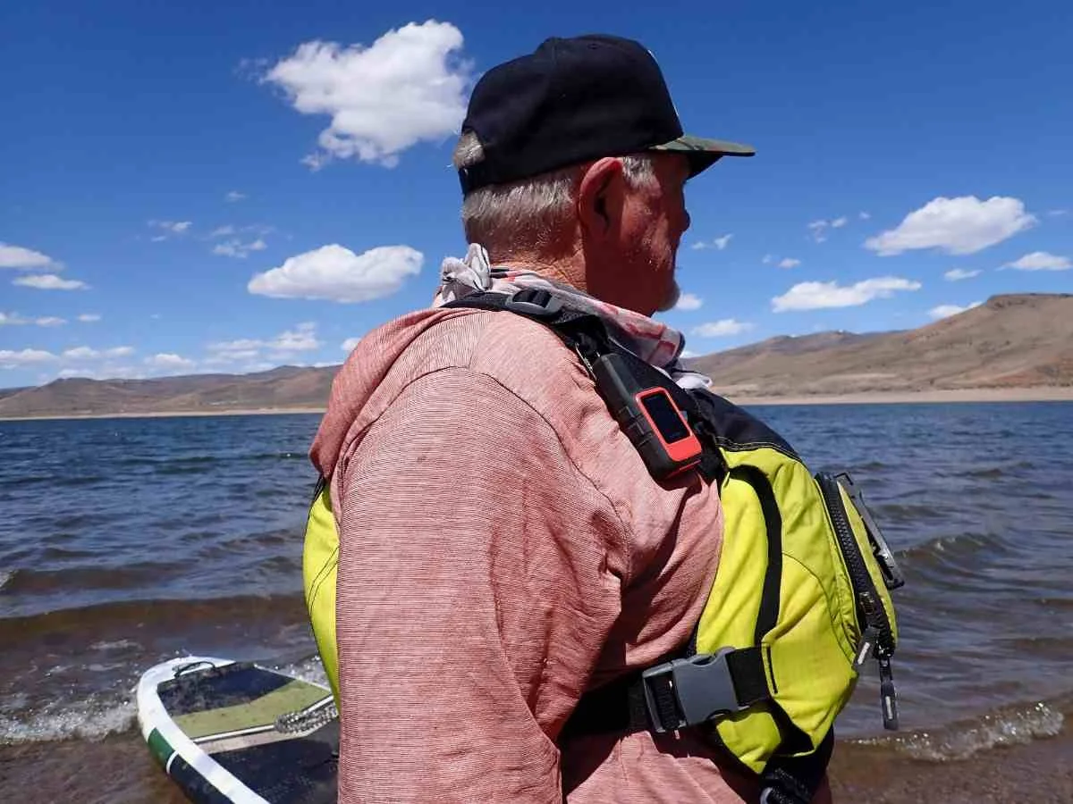
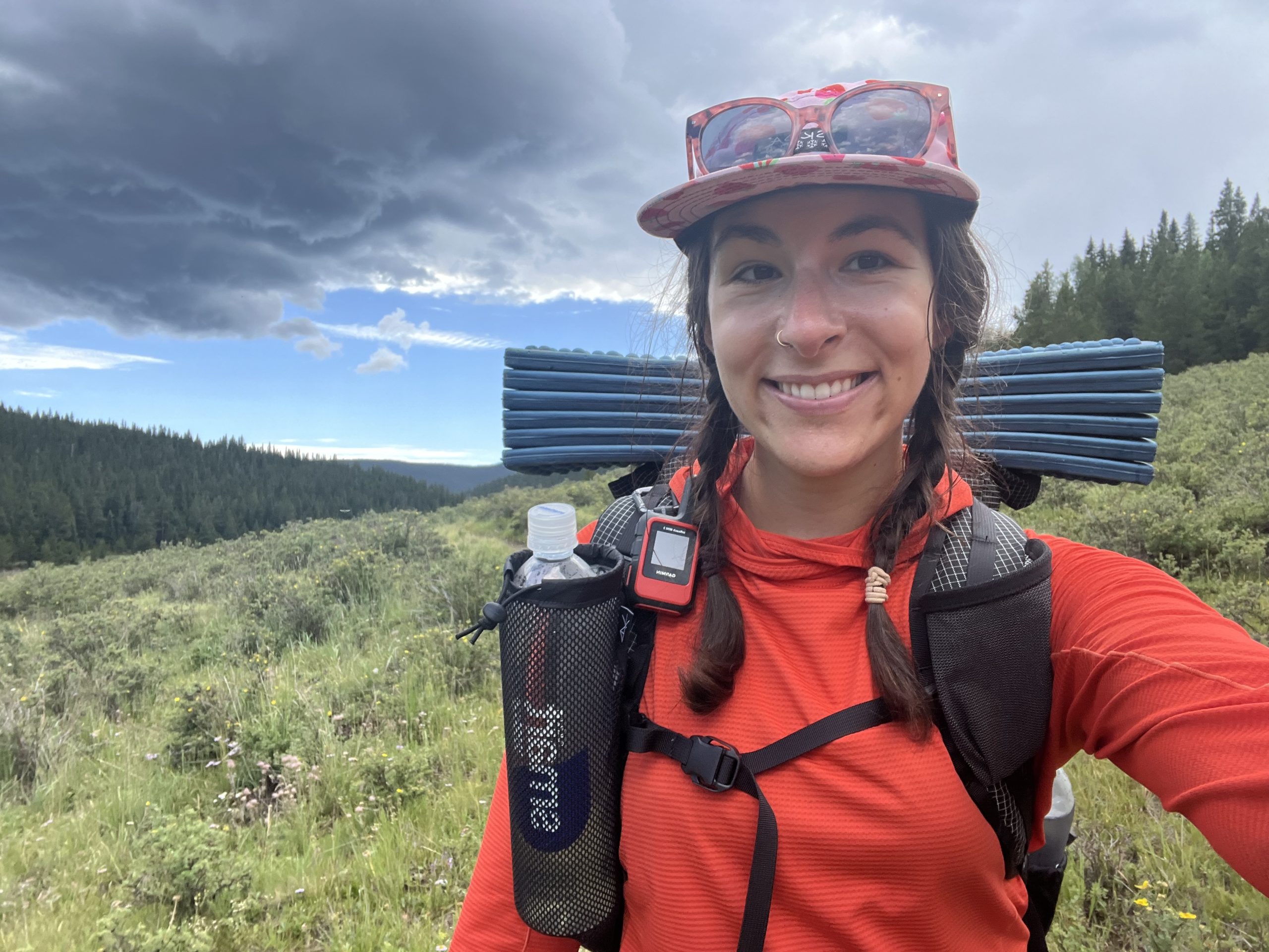
In our field tests, we found that keeping the unit mounted high on a backpack shoulder strap—rather than buried in a pocket—prevents excessive power drain. When the device has a clear view of the sky, it spends less energy "searching" for its target satellite.
Navigating with the Garmin Explore & Messenger Apps
The Garmin ecosystem can be confusing because it involves two distinct apps. The Garmin Messenger app is primarily designed for mission-critical messaging, allowing the device to seamlessly switch between Wi-Fi, cellular, and satellite to save your inReach data for when you actually need it. However, the Garmin Explore app safety features are what transform the unit into a true navigation tool.
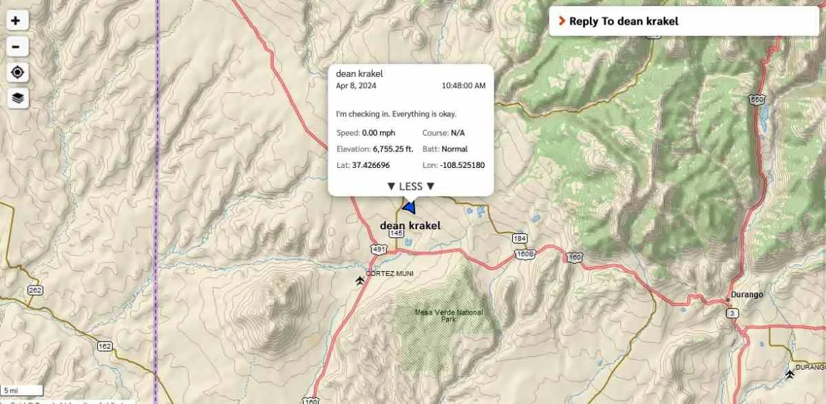
While the Mini 2 has a monochrome screen, pairing it with the Garmin Explore app on your smartphone unlocks high-resolution maps and aerial imagery. This is particularly useful for remote medical emergencies where you need to find the nearest flat clearing for a helicopter landing zone. Using garmin explore app for backcountry emergency navigation allows you to see your location on a detailed topo map, even when your phone has zero cell service.
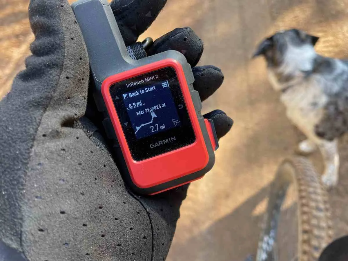
Another vital feature is TracBack. If you find yourself disoriented by a sudden storm or failing light, the garmin inreach mini 2 tracback feature for preventing getting lost will guide you along a breadcrumb trail back to your exact starting point. It provides off-course alerts to keep you on the original path you carved out.
2026 Subscription Guide: Plans for Every Hiker
To use any of the safety features mentioned above, an active satellite subscription is required. Garmin recently overhauled their pricing structure to better accommodate different types of users. Whether you are a weekend warrior or a professional guide, choosing the right plan is a balance of cost versus frequency of use.
| Plan Name | Monthly Fee | Best For | Features |
|---|---|---|---|
| Enabled | ~$8.00 | Occasional Hikers | SOS only, pay-per-message for texting. |
| Essential | ~$14.99 | Frequent Weekend Users | Unlimited SOS, 50 text messages included. |
| Established | ~$29.99 | Professional Guides | 1500+ messages, 2-minute tracking. |
| Professional | Custom | SAR Teams / NGOs | Fleet management and advanced data. |
Note that there is usually a one-time activation fee of $39.99. For many, the garmin inreach mini 2 subscription plans for occasional hikers allow for the "Enabled" or "Freedom" style plans where you can suspend the service during the winter months when you aren't hitting the trails. This flexibility makes it more affordable to keep such a powerful piece of backcountry safety equipment in your kit.
Interestingly, the value of these plans is underscored by the success of coordinated rescues. According to the Garmin 2024 inReach SOS Report, nearly 12% of users who triggered an emergency signal were actually able to self-rescue because they received medical advice or logistical help from the Garmin Response coordination center, avoiding a costly and slow physical extraction.
FAQ
How do you trigger an SOS on the Garmin inReach Mini 2?
To trigger an SOS, flip up the protective cap on the side of the device and press and hold the SOS button until the countdown begins. Alternatively, you can initiate an SOS through the digital interface on the device menu or via the paired Garmin Explore app on your smartphone if the device is within Bluetooth range.
What is the difference between Garmin inReach Mini and Mini 2?
The Mini 2 features significantly improved battery life, a higher-resolution screen, and the addition of the TracBack routing feature. It also supports multi-GNSS satellite systems (Galileo, Beidou, and QZSS) in addition to GPS, which results in faster signal acquisition and better performance in challenging environments like deep canyons.
Do you need a subscription to use the Garmin inReach Mini 2?
Yes, an active satellite subscription is mandatory to use any of the communication features, including SOS, text messaging, and weather reports. Without a subscription, the device can only function as a basic GPS logger and compass, but it will not be able to transmit your location or calls for help to emergency services.
How long does the battery last on the Garmin inReach Mini 2?
In ideal conditions with 10-minute tracking intervals, the battery can last up to 14 days. However, factors like heavy tree cover, cold temperatures, and frequent messaging can reduce this. By using 30-minute tracking intervals and turning off unnecessary features like Bluetooth, you can reliably get a full week of use on a single charge during a typical backpacking trip.
Does the Garmin inReach Mini 2 have built-in maps?
The device itself does not display topographical maps on its small monochrome screen. Instead, it shows a breadcrumb trail, compass, and coordinate data. To view full-color, high-resolution topographic maps, you must pair the device with the Garmin Explore app on your smartphone, which uses the device's GPS signal to show your exact position on downloaded maps.